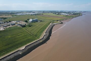
Drone Coastal Surveys
Hopgrove Productions, are a CAA-licensed drone operator, serving the UK with high-quality drone coastal surveys for the Environment Agency. Our expertise in drone technology makes us the ideal choice for coastal survey projects. We provide a cost-effective, safe, fast, and detailed solution for your needs.
Drone Filming & Photography for Coastal Surveys
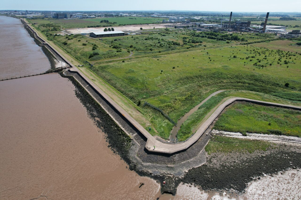
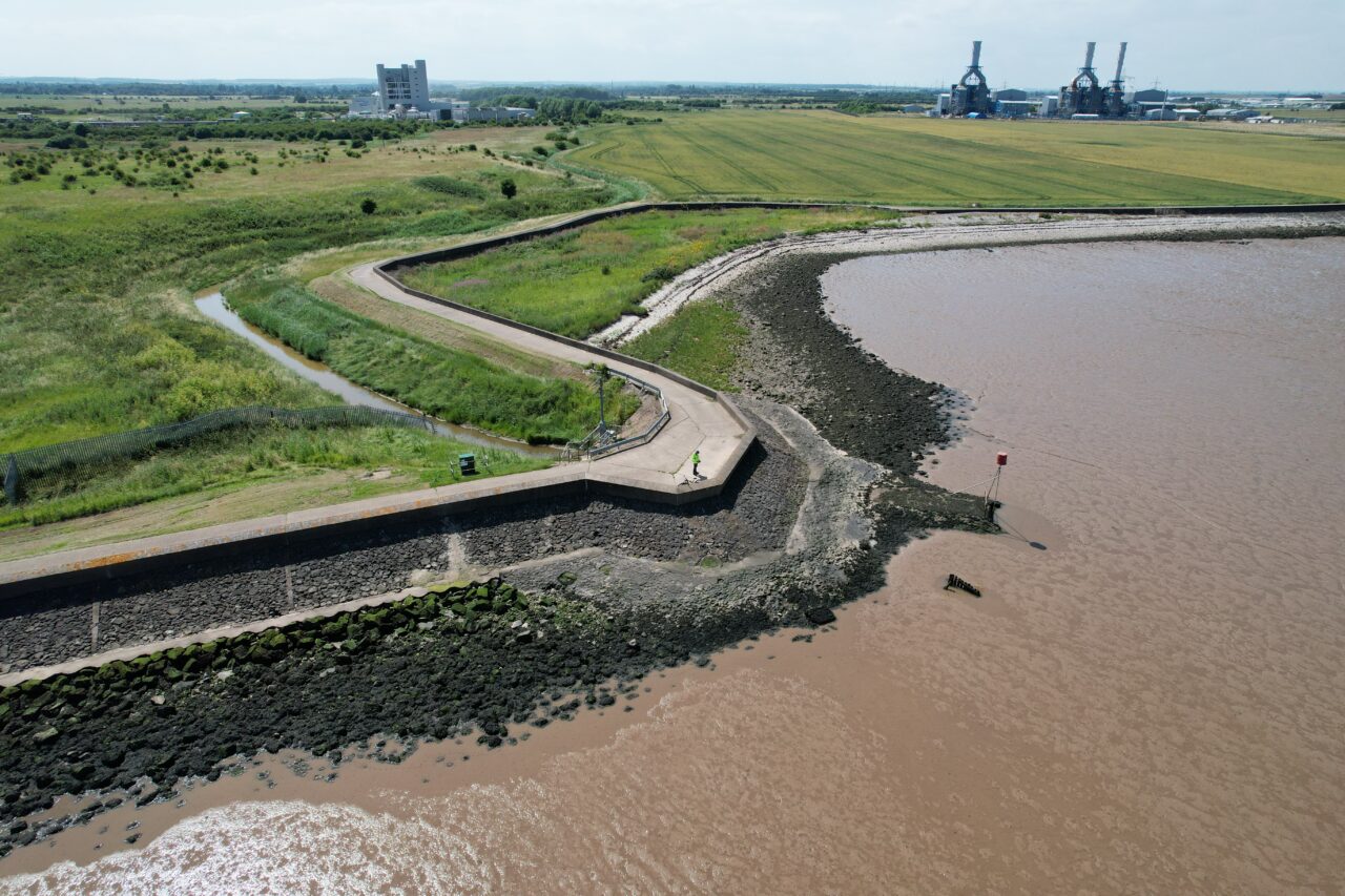
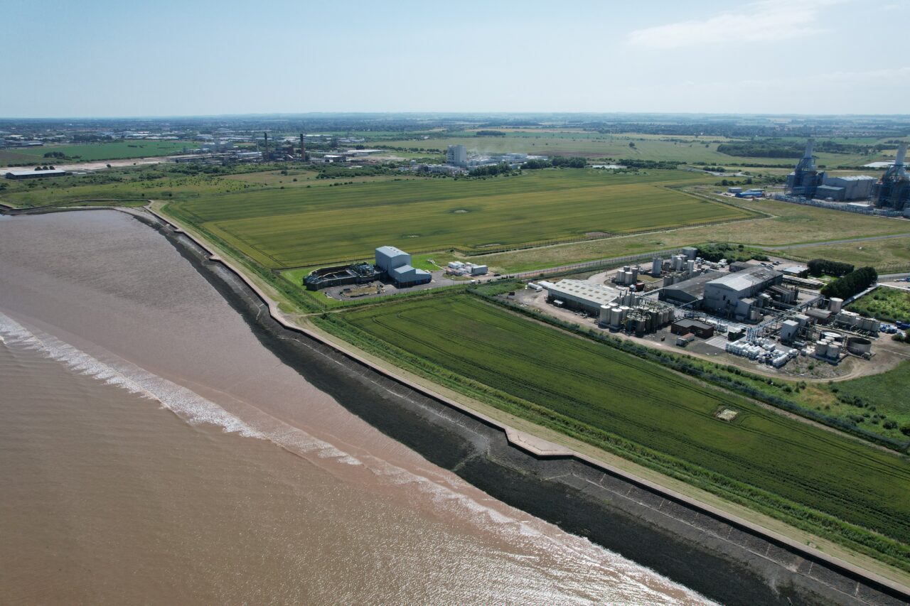
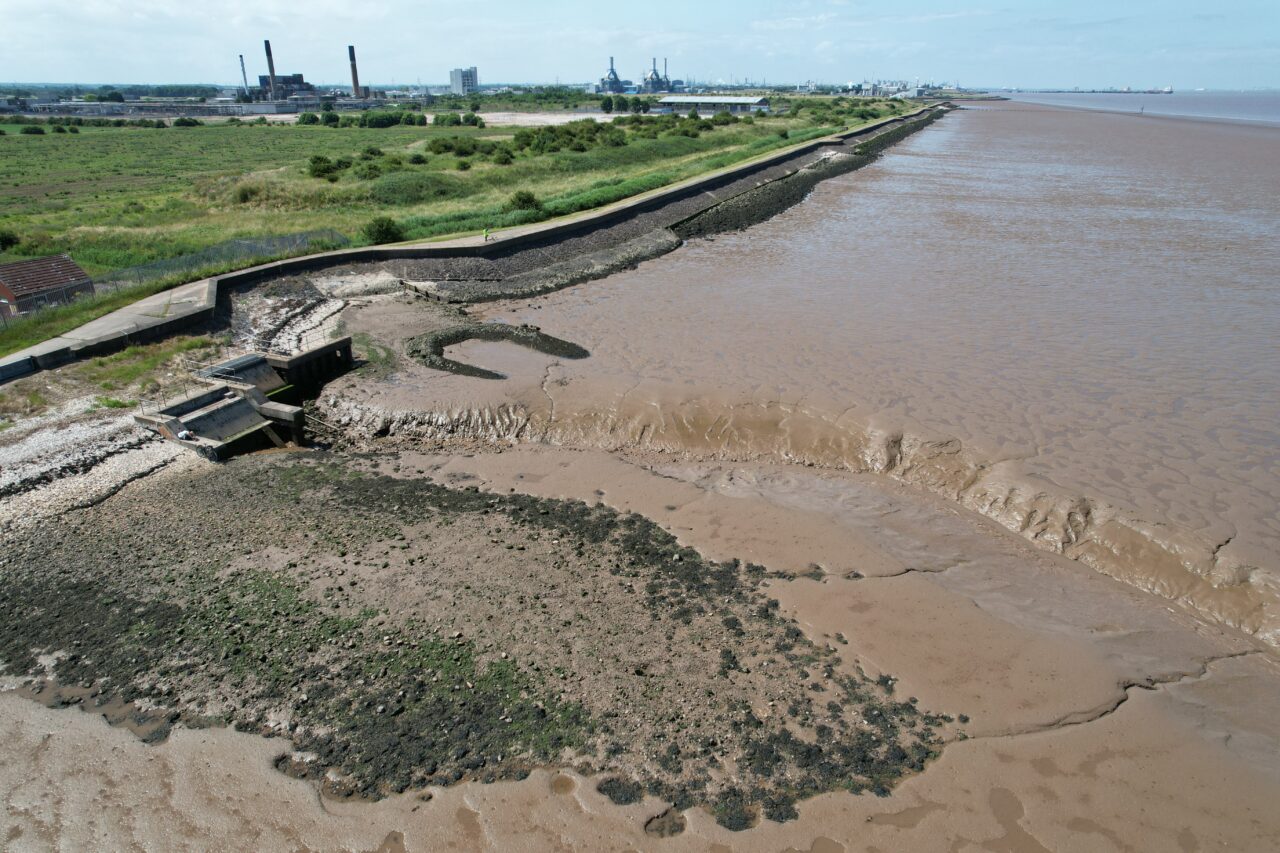
At Hopgrove Productions, we understand the importance of accurate and reliable data for coastal surveys. We use state-of-the-art drones equipped with high-resolution cameras to capture stunning aerial footage and photos of the coastline. Our drones are capable of flying at low altitudes, providing a detailed view of the area and making it easier to identify potential threats and vulnerabilities.
A Lower Cost Solution
The benefits of using a drone for coastal surveys are numerous, starting with cost. Traditional surveying methods often require the use of boats or planes, which can be costly and time-consuming. With drones, we can survey the coastline quickly and efficiently, saving you time and money.
Another advantage of using drones is the high-resolution filming and photography they provide. Our drones are equipped with high-quality cameras that capture clear footage and photos, providing you with a detailed view of the coastline that is unparalleled by other methods. Whether you need to monitor erosion, study wildlife, or assess the impact of human activity on the coastline, our drones can provide the data you need.
A Safer Option for Coastal Survey
Safety is another crucial factor when it comes to coastal surveys, and drones offer a safe solution that reduces the risk of injury to surveyors. Our drones can fly at low altitudes, reducing the need for workers to be in hazardous areas, and ensuring that the data is collected safely and efficiently.
Finally, drones offer a fast solution for coastal surveys. With the ability to cover large areas quickly, we can gather the data you need in a fraction of the time it would take with traditional methods. This means you can make decisions based on the latest information, reducing the time and resources you need to spend on monitoring and assessing the coastline.
For more information Contact us Today
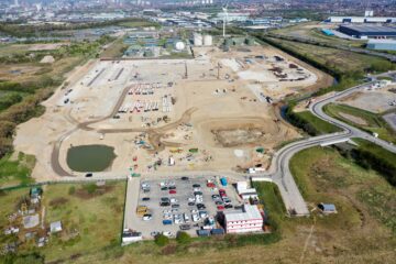
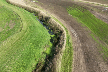
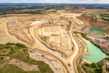
Gallery